DJI Enterprise Official Partner
DJI · Multifunctional Station

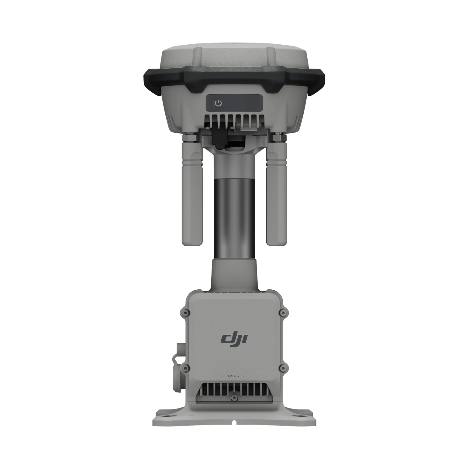
D-RTK 3

Centimetre accuracy, wherever you fly.

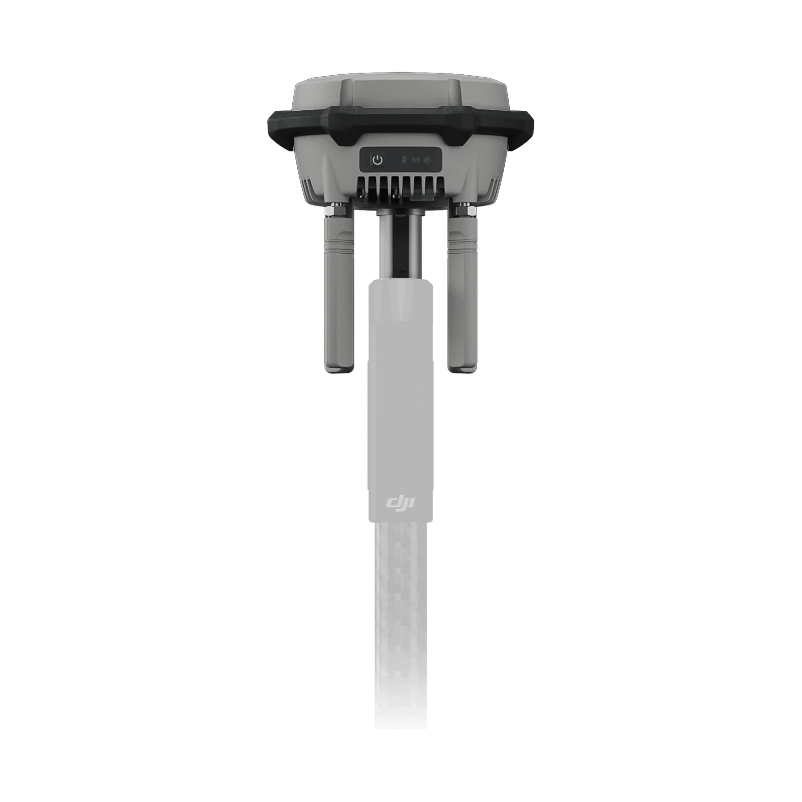
One station, three roles: an RTK base for many drones at once, a relay for difficult terrain, and a rover for ground control points.

IP67Dust and water protection
3Modes: base, relay, rover
cmPosition accuracy
O4Enterprise transmission
1,26kgWeight
Modes

One station, three jobs.

01

Many drones at once

RTK corrections to several models at once, for centimetre accuracy without a network.

02

Behind mountains

On high ground, it carries video and control where the signal does not reach directly.

03

Control points

Measures ground control points, with tilt compensation.

Technical specifications

Specifications

Station

ModesBase · Relay · Rover
TransmissionO4 Enterprise
Temperature-20 to 55 °C

Compatible

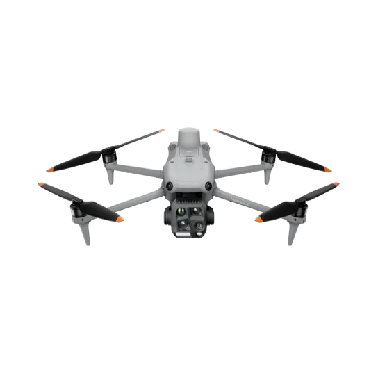
DronesMatrice 400 · Matrice 4E/4T · 4D/4TD
DocksDJI Dock 3
Weightapprox. 1.26 kg
GNSS Receiver5
GNSS Frequency
GPS: L1C/A, L2C, L5
BDS: B1I, B2I, B3I, B1C, B2a, B2b
GALILEO: E1, E5a, E5b, E6
GLONASS: L1, L2
QZSS: L1C/A, L2C, L5
L-Band
System Accuracy
Base Station Mode (Broadcast Mode) and Relay Station Mode
Base Station Accuracy:
Single Point Accuracy (Uncalibrated):
Horizontal: 1.5 m (RMS)
Vertical: 3.0 m (RMS)
Satellite-Based Differential Accuracy:
Convergence Time: 20 mins
Horizontal: 30 cm (RMS)
Vertical: 40 cm (RMS)
Network RTK Calibration**:
Horizontal: 1.0 cm (RMS) + 1 ppm
Vertical: 3.0 cm (RMS) + 1 ppm
Rover Station Mode
RTK Accuracy (Fixed Survey)*:
Horizontal: 0.8 cm (RMS) + 1 ppm
Vertical: 1.5 cm (RMS) + 1 ppm
RTK Accuracy (Tilt Survey)***:
Angle Range: 0° to 60°
Horizontal: 8 mm + 0.7 mm/° tilt (accuracy <2 cm within 30°)
Satellite-Based Precise Point Positioning
Supported Frequencies: BDS B2b, GALILEO E6, L-BAND**
Convergence Time: 20 mins
Horizontal: 30 cm (RMS)
Vertical: 40 cm (RMS)
Differential Data Transmission Format
When used as a base station or relay station, records RTCM 3.2 raw observation data in DAT format.
In rover station mode or in calibration mode for base and relay stations:
1. Supports RTCM v3.0, v3.1, v3.2, v3.3, MSM4, MSM5, MSM6, MSM7 protocols.
2. It is recommended to use receivers that support four or more GNSS systems.
Initialization Reliability
>99.9%
Video Transmission10
Video Transmission System
O4 Enterprise
Operating Frequency
Relay Station Mode:
O4: 2.4 GHz/5.2 GHz/5.8 GHz
Base Station Mode:
O4: 2.4 GHz/5.8 GHz
Rover Station Mode:
BLE: 2.4 GHz
Transmitter Power (EIRP)
2.4000 GHz to 2.4835 GHz:
<33 dBm (FCC)
<20 dBm (CE/SRRC/MIC)
5.150 GHz to 5.250 GHz:
<23 dBm (CE/FCC)
5.725 GHz to 5.850 GHz:
<33 dBm (FCC)
<30 dBm (SRRC)
<14 dBm (CE)
Bluetooth
Protocol: Bluetooth 5.1
Frequency: 2.400 GHz to 2.4835 GHz
Transmitter Power (EIRP): <10 dBm
Max Transmission Distance (unobstructed, free of interference)
Base Station Mode:
1. Between D-RTK 3 and Matrice 400:
FCC: 40 km
SRRC/CE/JP: 20 km
2. Between D-RTK 3 and other aircraft:
FCC: 15 km
SRRC: 12 km
CE/JP: 8 km
Rover Station Mode:
Between D-RTK 3 and mobile devices: 30 m
Max Transmission Distance in Relay Station Mode (unobstructed, free of interference)
FCC
Between the aircraft and the relay station: 25 km
Between the relay station and the remote controller/DJI Dock 3: Recommended within 1 km; maximum 3 km (unobstructed, free of interference)
SRRC
Between the aircraft and the relay station: 12 km
Between the relay station and the remote controller/DJI Dock 3: Recommended within 1 km; maximum 3 km (unobstructed, free of interference)
CE
Between the aircraft and the relay station: 10 km
Between the relay station and the remote controller/DJI Dock 3: Recommended within 300 m; maximum 1 km (unobstructed, free of interference)
Max Transmission Distance (unobstructed, with interference)
Strong interference: City centers, approx. 1.5-5 km
Medium interference: Suburban areas, approx. 5-15 km
Micro interference: Remote areas/seasides, approx. 15-25 km
Max Transmission Distance (obstructed, with interference)
Low Interference and Obstructed by Buildings: approx. 0-0.5 km
Low Interference and Obstructed by Trees: approx. 0.5-3 km
Data is tested under FCC standards in unobstructed environments of typical interference. Only to serve as a reference and provides no guarantee as to the actual flight distance.
Relay Station Range Extension Effect
Relay Station Performance Enhancement:
Severe obstruction (e.g., buildings, mountains): 3x to 5x performance improvement
Mild obstruction (e.g., trees, glass): 1x to 3x performance improvement
Antenna
OcuSync 4 directional antennas× 4, 2T4R
Electrical Properties6
Power
D-RTK 3 Multifunctional Station:
Relay Station: 14.5 W*
Base Station: 7 W
Rover Station: 6.2 W
D-RTK 3 Relay Fixed Deployment Version:
Relay Station: 14.5 W**
Power Output Port
D-RTK 3 Multifunctional Station: USB Type-C
D-RTK 3 Relay Fixed Deployment Version: USB Type-C and Ethernet Port (PoE)
Supported Power Adapter
D-RTK 3 Multifunctional Station:
USB PD 3.0 protocol, output voltage 9V to 15V adapter (e.g., DJI 65W Portable Charger)
D-RTK 3 Relay Fixed Deployment Version:
DJI Dock 3 PoE Output Port
Third-party PoE Power Supplies:
IEEE 802.3bt Type 4 (PoE++): 52 V to 57 V output, 99.9 W max
IEEE 802.3bt Type 3 (PoE++): 50 V to 57 V output, 60 W max
IEEE 802.3at Type 2 (PoE+): 50 V to 57 V output, 30 W max
Battery Operating Time (Under Normal Temperature)
D-RTK 3 Multifunctional Station:
Relay Station: 4 hrs
Base Station:7 hrs
Rover Station: 10 hrs
D-RTK 3 Relay Fixed Deployment Version:
Relay Station:4 hrs**
Ethernet Cable Requirements
D-RTK 3 Multifunctional Station:
Ethernet not supported
D-RTK 3 Relay Fixed Deployment Version:
Requires Cat 6 twisted-pair cable, ≤100m length, 5.5-6.5mm outer diameter.
Battery
LiPo
Capacity: 6500 mAh
Energy: 46.8 Wh
Physical Characteristics6
Operating Temperature
D-RTK 3 Multifunctional Station: -20° to 55° C (-4° to 131° F)
D-RTK 3 Relay Fixed Deployment Version: -30° to 55° C (-22° to 131° F)
Altitude
6000 m
Protection Rating
D-RTK 3 Multifunctional Station: IP67
D-RTK 3 Relay Fixed Deployment Version*: IP67
Please follow the requirements stated in the IP67 protection rating instructions. Measured in a controlled environment. The IP rating is not permanently effective and may decrease due to product wear and tear. Ensure all rubber port covers and the DJI Cellular Dongle 2 heat sink are properly installed.
Drop Resistance
D-RTK 3 Multifunctional Station: 2 m drop with pole
Dimensions
D-RTK 3 Multifunctional Station: 163 mm × 89 mm (without OcuSync Directional Antennas)
D-RTK 3 Relay Fixed Deployment Version: 163 mm × 344 mm
Weight
D-RTK 3 Multifunctional Station: Approx. 1.26 kg (2.78 lbs)
D-RTK 3 Relay Fixed Deployment Version: Approx. 2.24 kg (4.94 lbs)

Source: DJI’s official specifications, as published by the manufacturer. Values were measured in controlled conditions. Official page ↗

Before you buy

Frequently asked questions

Which modes does it have?

Base station (green light): provides corrections for centimetre positioning to several drones at once. Relay (blue): set up high, it keeps the drone–controller link over obstacles. Rover (yellow): a handheld tool for measuring control points.

How many drones can it connect?

As a base station, many drones. As a relay, one controller and its drone. As a rover, one mobile device over Bluetooth.

Which coordinate system does it use?

WGS84 as a base station and relay. As a rover it gives latitude, longitude and altitude, which the DJI Enterprise app converts to standard projections.

Does it support PPK in DJI Terra?

Yes, raw satellite data imports into DJI Terra 4.4.0 or later.

Can it measure with a tilted pole?

Yes. Tilt compensation works out the pole tip with the built-in sensors, for points at wall corners, kerbs or poles where the pole cannot stand upright.

When is the relay mode needed?

When obstacles near the takeoff point block the drone–controller link. Set it up high, and the pilot can work from shade, indoors or inside a vehicle.

How does it differ from the D-RTK 3 Multifunctional Station?

The Relay Fixed Deployment Version only relays and is installed permanently with a DJI Dock 3. The Multifunctional Station works as a relay, an RTK base station and a handheld survey rover, with many DJI drones.

Based on DJI’s official FAQ, in our own words. Official page ↗

The complete system

Works together with…

See Drone-in-a-Box at your facility.

Fill in the form and an ADESCO advisor will contact you within one business day.
Request a demo