Under bridges
Low-light fisheye cameras hold position where GPS is lost.

Surveying with a drone in your hand.
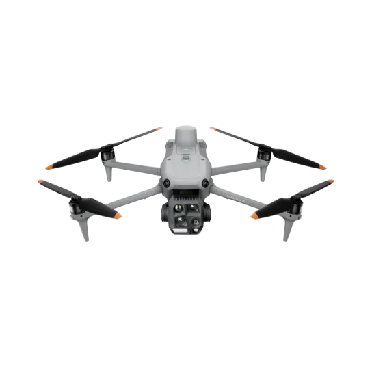
For surveyors, engineers and construction sites. A large 4/3 camera with mechanical shutter, oblique capture and a laser, on a drone that fits in a backpack.
Five-direction oblique and three-direction ortho capture, with a real-time map so you see what is covered before landing.
Low-light fisheye cameras hold position where GPS is lost.
The laser places target coordinates on the image and shares them with the team.
Omnidirectional obstacle sensing for safe flights near structures.
Source: DJI’s official specifications, as published by the manufacturer. Values were measured in controlled conditions. Official page ↗
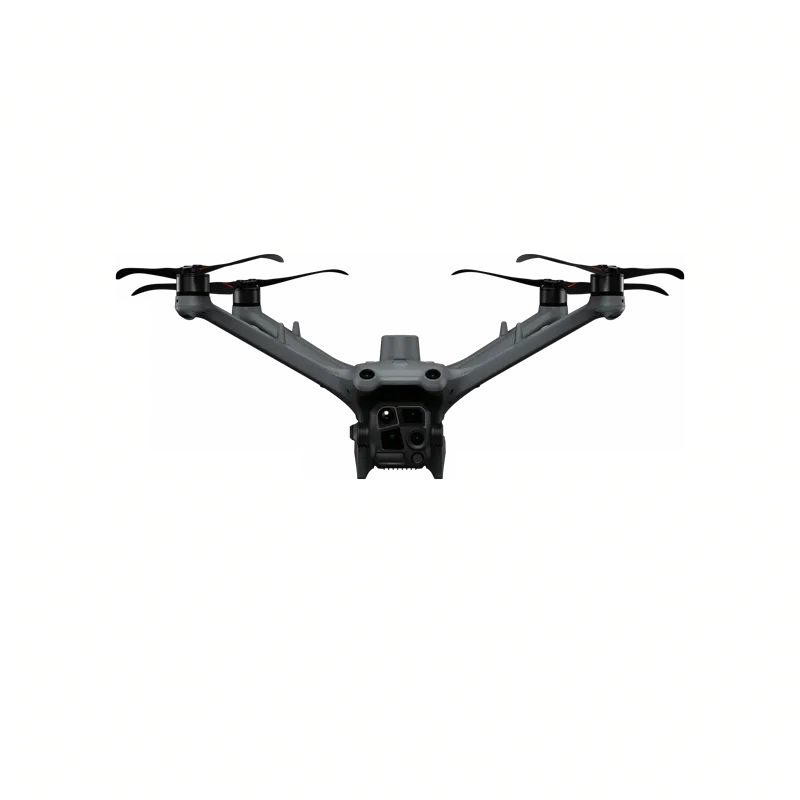
Both carry a 48 MP medium tele camera, a 48 MP tele camera and a laser rangefinder. The 4T adds a thermal camera, an NIR light and a 48 MP wide camera, for public safety and search and rescue. The 4E has a 4/3 CMOS 20 MP wide camera, for surveying and mapping.
It is C2 certified by EASA.
No. If it starts to rain, bring it back and land, and fly again once it is completely dry. For all-weather missions there are the Matrice 4TD (IP55, dock-based) and the Matrice 400 (IP55).
Yes, with the Matrice 4E's 4/3 CMOS wide camera. The tele camera is not used for GCP-free mapping.
Yes, with RTK enabled.
Both shoot in five directions in a single flight. The Matrice 4E moves the camera in an "X" pattern, the P1 in a "+" pattern.
With the 100 W hub, about 78 minutes to full or 60 minutes to 90%. With the 200 W hub, about 55 minutes or 40 minutes to 90%.
Over the remote controller's Wi‑Fi.
Based on DJI’s official FAQ, in our own words. Official page ↗
Fill in the form and an ADESCO advisor will contact you within one business day.