Under vegetation
Multiple returns reach the ground between leaves.

3D capture in a day.
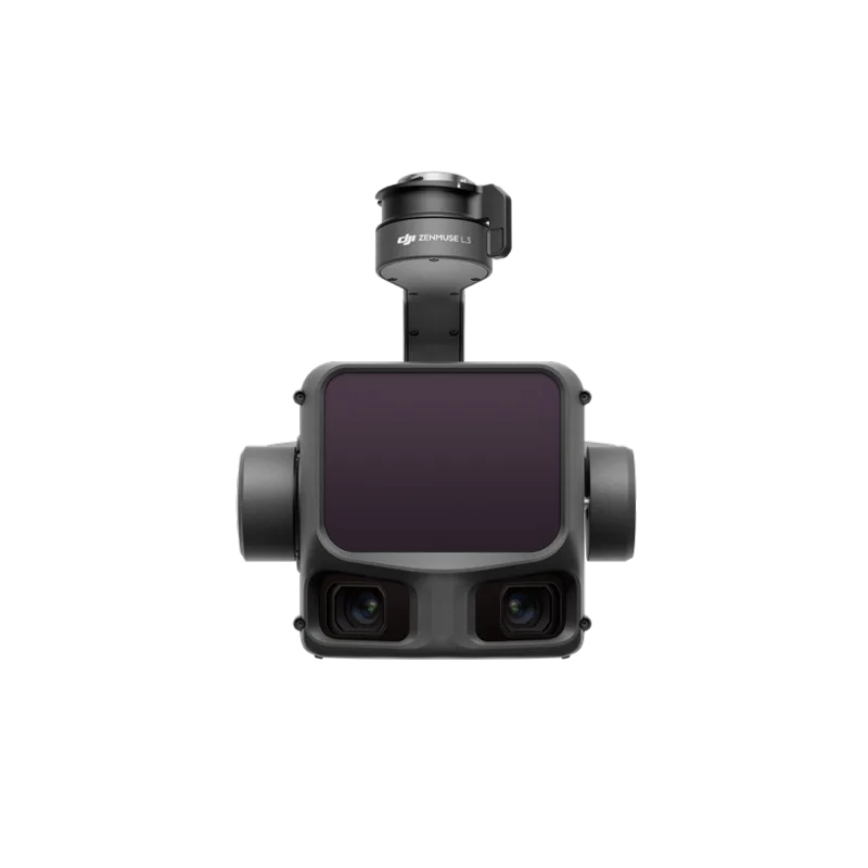
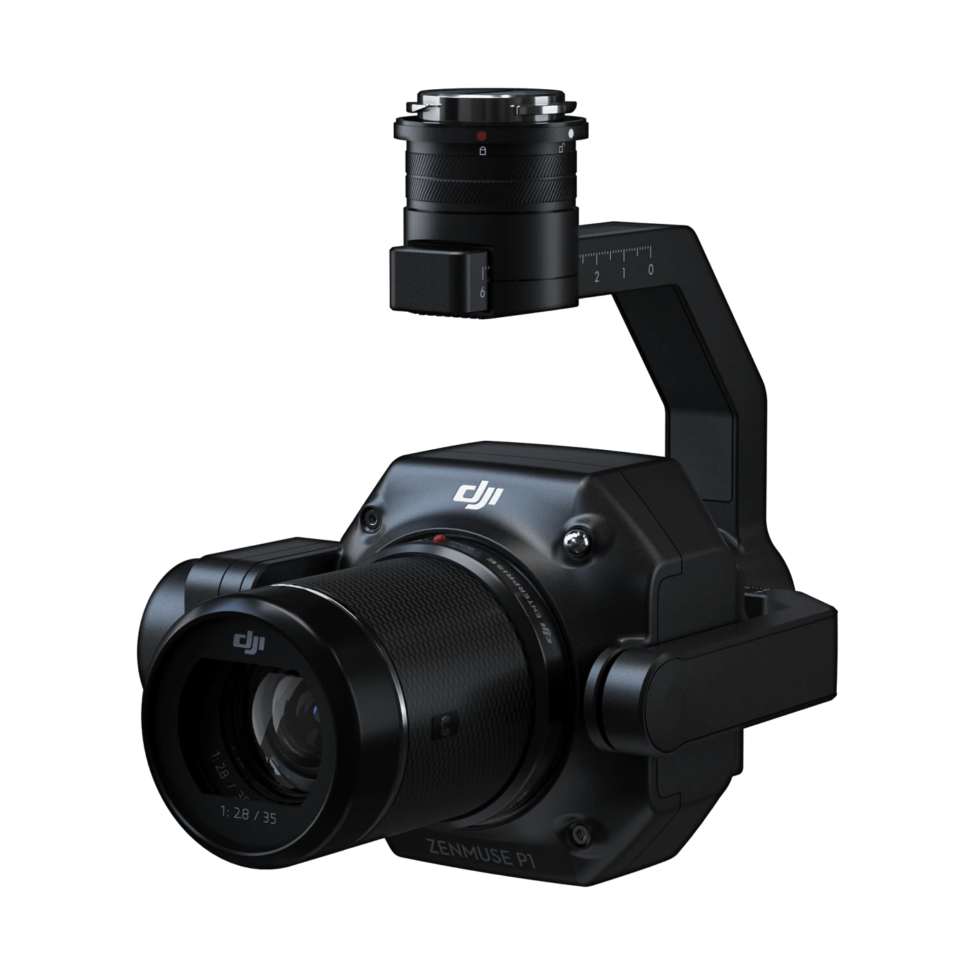
LiDAR and a 4/3 RGB camera in one gimbal. Fly, and the coloured point cloud is ready to process in DJI Terra.
Multiple returns reach the ground between leaves.
Conductors and towers in the point cloud, with vegetation clearance.
Linear scans for flood works.
Source: DJI’s official specifications, as published by the manufacturer. Values were measured in controlled conditions. Official page ↗
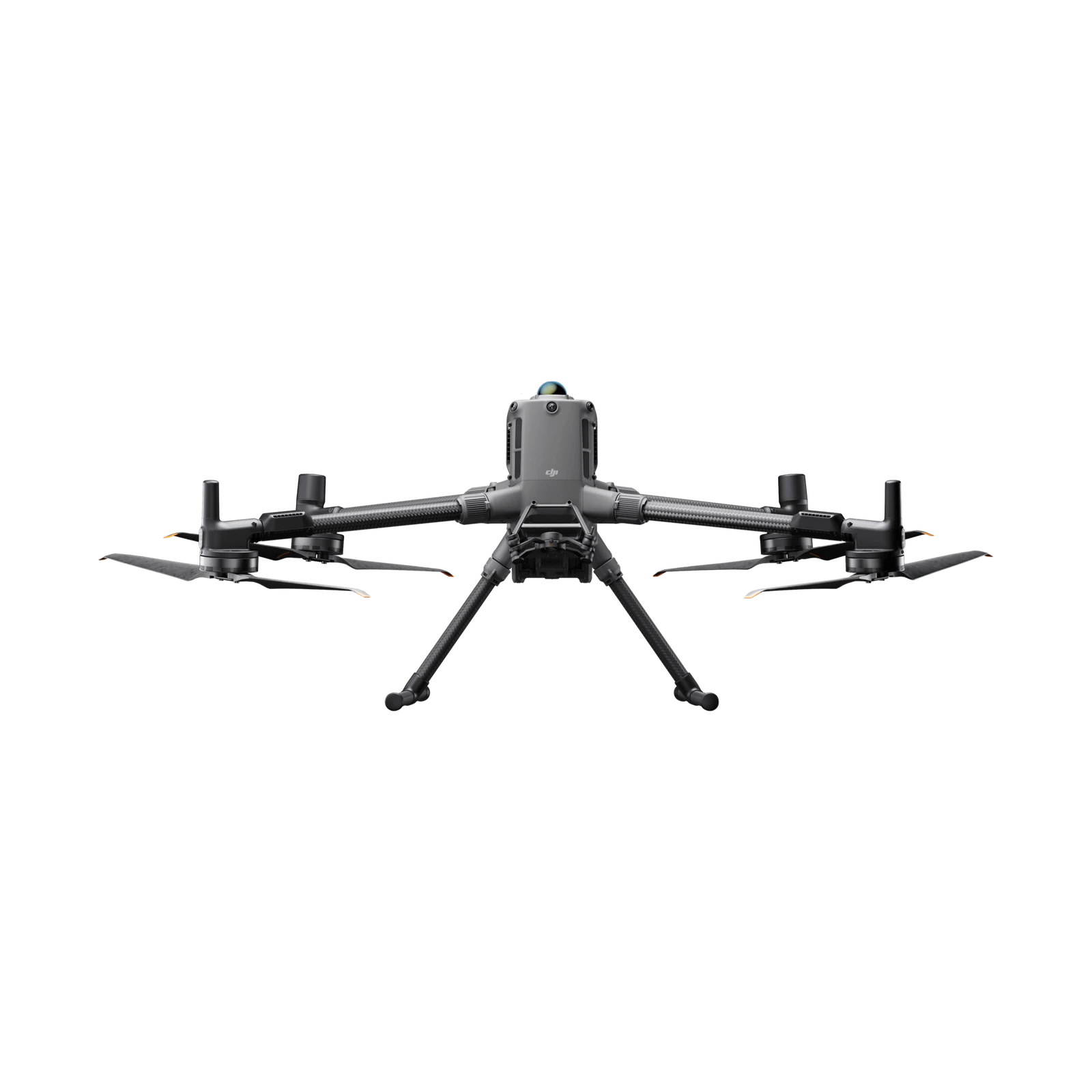
The Matrice 400 (single or dual connector), the Matrice 350 RTK and the Matrice 300 RTK (single connector only, the 300 RTK with DJI RC Plus). A second payload on the dual connector reduces accuracy.
IP54 to IEC 60529, with a dry connector and the card cover closed.
250 m at 10% reflectivity in daylight and 450 m at 50% in darkness. Recommended flight height is 30–150 m.
5 cm horizontal and 4 cm vertical, in a DJI test at 150 m with processing in DJI Terra.
Up to 2.5 km² (on a Matrice 350 RTK, at 150 m and 15 m/s).
The laser spot is about 1/5 the size at 100 m, so it penetrates vegetation better, with longer range and higher accuracy. The RGB camera has 89% larger pixels.
Topographic surveys, power line models, forestry and measurement.
In DJI Terra, point clouds in PNTS, LAS, PLY, PCD and S3MB, and trajectories in sbet.
Based on DJI’s official FAQ, in our own words. Official page ↗
Fill in the form and an ADESCO advisor will contact you within one business day.