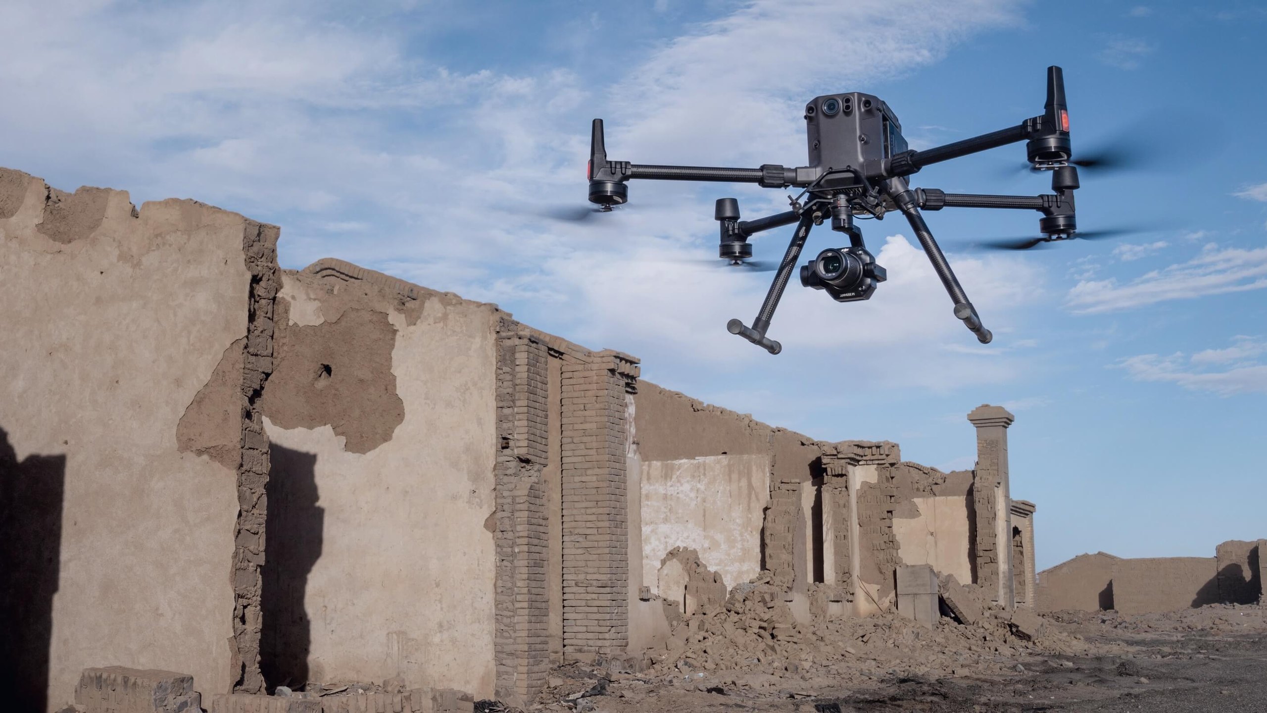

DJI · Photogrammetry camera
Zenmuse P1
Full frame, for maps that measure.
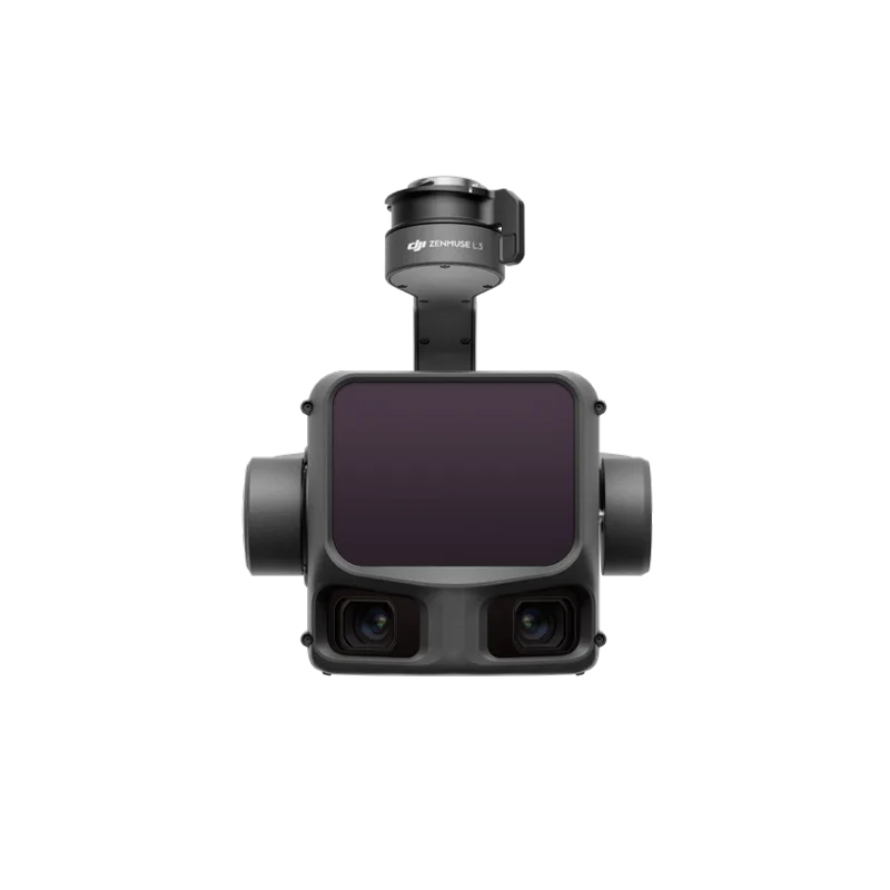
A 45 MP full-frame sensor with interchangeable lenses on a three-axis gimbal. High-accuracy orthophotos and 3D models over large areas.
IP4XDust and water protection
Full frame, for maps that measure.
A 45 MP full-frame sensor with interchangeable lenses on a three-axis gimbal. High-accuracy orthophotos and 3D models over large areas.
A large sensor and mechanical shutter give clean images at speed, for centimetre-accurate maps without many control points.
Oblique and close-range capture for detailed 3D models in DJI Terra.
Source: DJI’s official specifications, as published by the manufacturer. Values were measured in controlled conditions. Official page ↗
8192 × 5460, about 45 MP.
24, 35 and 50 mm DL-mount lenses. They do not zoom.
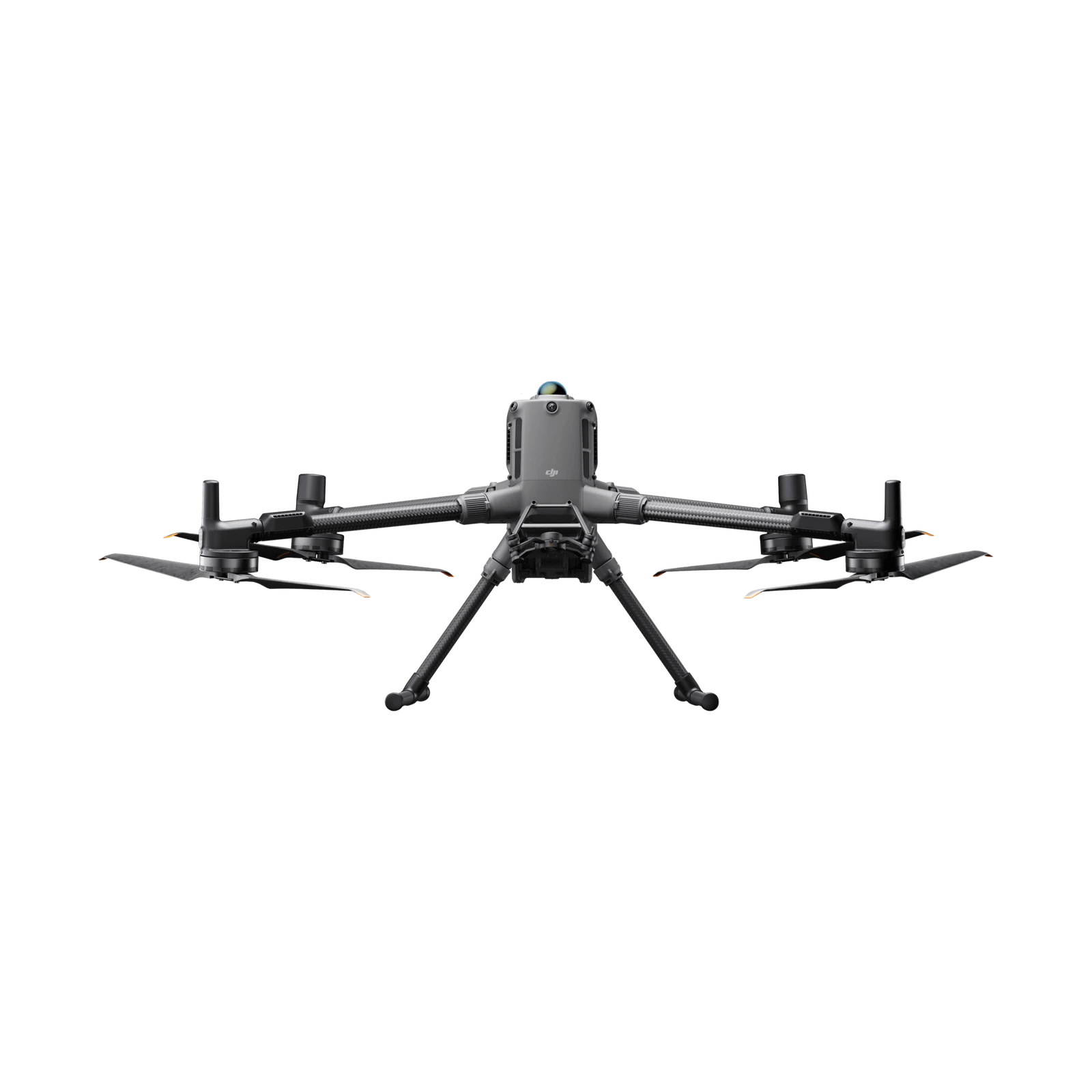
The Matrice 400 (single or dual connector), the Matrice 350 RTK and the Matrice 300 RTK (single connector). A second payload on the dual connector reduces accuracy.
On automated routes it focuses at the first waypoint or at infinity. In manual flight the pilot focuses.
The camera turns to several angles in one flight, so a single route yields all the nadir and oblique photos for a 3D model. At the edges it only shoots what is needed, which speeds up processing.
With the 24 mm lens GSD = height/55, 35 mm height/80, 50 mm height/114 (GSD in cm/pixel, height in m). For example, at 100 m with 35 mm about 1.25 cm/pixel.
2D orthomosaics, 3D oblique capture, detailed models and real-time mapping.
Based on DJI’s official FAQ, in our own words. Official page ↗
Fill in the form and an ADESCO advisor will contact you within one business day.